
GIS Solutions
Shaarait provides GIS solutions that integrate with your existing systems using the latest in GIS technology. We offer custom GIS solutions for geospatial data capture,
provisioning, mapping, photogrammetric services and more.
GIS
GIS Solutions
Using industry-leading geospatial software, our highly experienced GIS specialists offer Geographic Information System (GIS), data management and charting services.
Types of GIS Software
Desktop GIS

Web GIS

Server GIS

Specialized GIS

Our GIS Solutions
We offer GIS solutions for geospatial data capture, provisioning, mapping, photogrammetric services and more
Enterprise GIS Implementation
By implementing the latest enterprise GIS technologies, we provide support with a standard platform to inject the value of GIS data and tools to communicate more valuable information and enhance business workflows.
GIS Application Development
We are driven by implementing the right GIS solution for your needs, every time. Our custom GIS application development process is always right-sized for the tasks at hand to minimize cost, complexity, deployment risk and future maintenance costs.
Geospatial Analysis
We work with clients to discover and connect silos of information within an organization and integrate processes across government departments, designing a model that can be tailored to support an organization’s unique needs.
GIS Training
Shaarait ensures its clients receive the right third-party training to enable users to work effectively with their data and GIS.
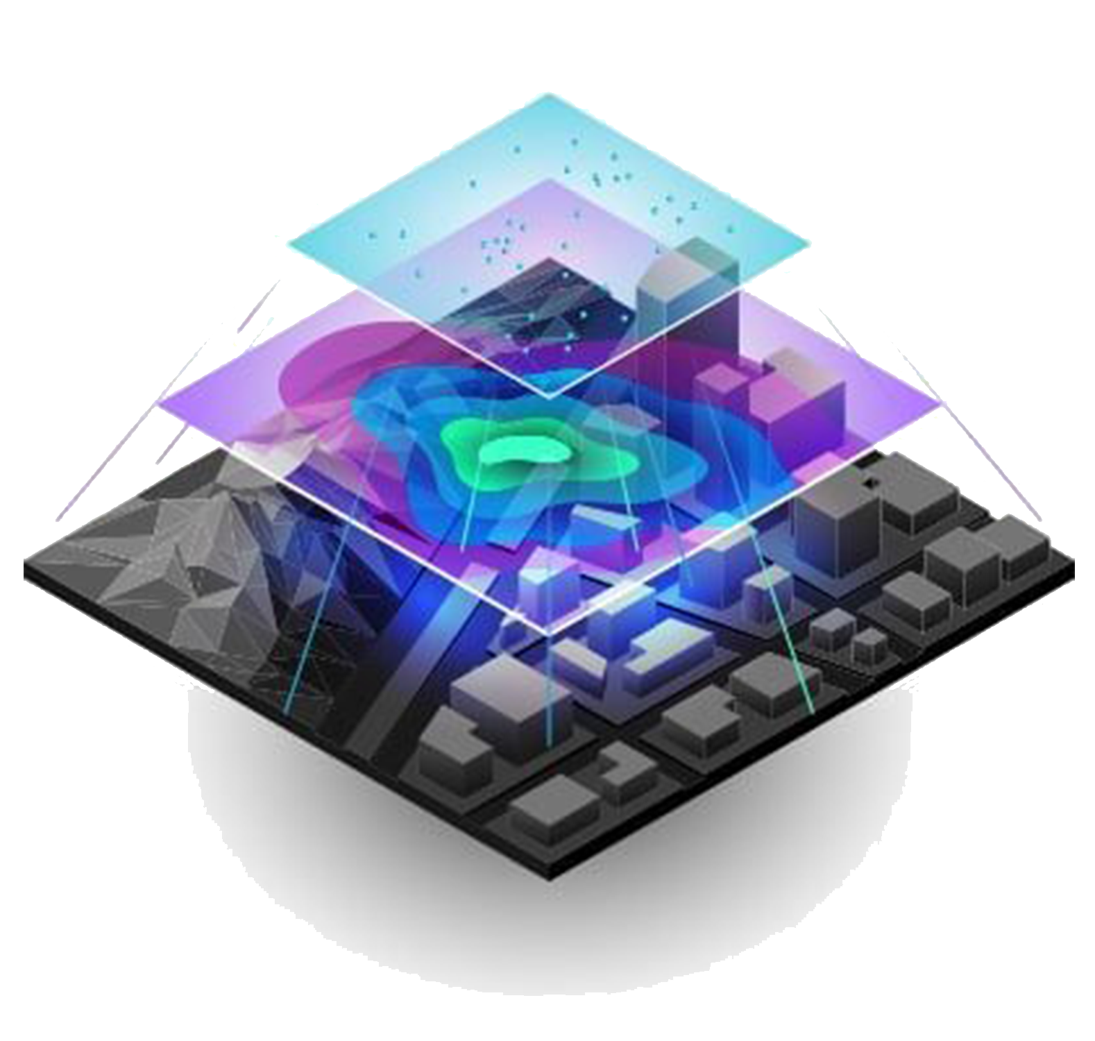
What is GIS?
Geographic Information System is a software tool that analyzes, stores, manipulates and visualizes geographic information.
To break it down, GIS allows you to:
- Create or import spatial and geographic data
- Organize and manage data
- Analyze data
- Visualize and display the data on a map
Who Uses GIS?
Nowadays, almost all industries are using a particular form of GIS software. It can be implemented by individuals, small or huge companies, communities (states and cities), research institutions, environmental scientists, health organizations, land-use planners, businesses, government agencies, education centres… well pretty much anyone!
GIS also helps in dealing with transportation issues, infrastructure assessment, network and telecom services, electricity and natural resources management and maintenance, geologic and agricultural applications, community development and urban planning, accidents and hot spot analysis, environmental impact analysis, surveying, crowdsourcing… we could go on, but let’s instead show some examples.
Why Do You Need To Implement GIS Solutions?
- To better manage your resources
- To make GIS based decisions
- To have easy access to your data
- To document realization of your investment in changing environment
Offerings

Shaarait offers end-to-end implementation and customization for GIS Solutions Development and Geospatial Consulting